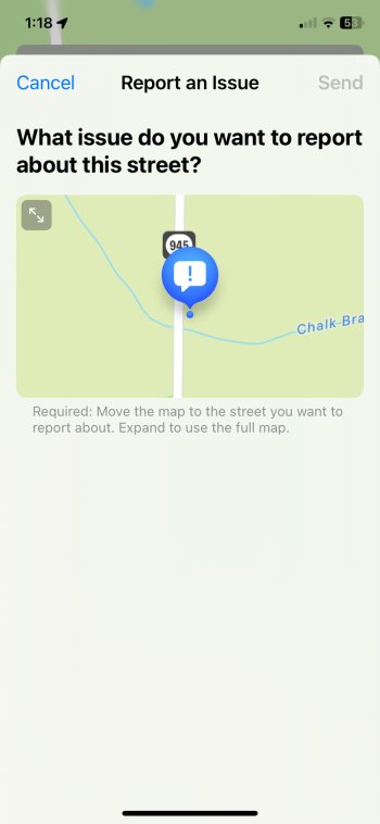
Here's the scenario. I live in a rural area on a county road that connects to a county highway that is a busy route into a major town nearby. There has been a bridge out on the county road that I live on for the past 18 months. This has necessitated taking one of various circuitous routes to get to the county highway. Apple Maps easily routes us to that highway based on which way we start out. And, returning home Apple Maps routes us to roads that are not blocked to get us home. Happy for all that.
A week ago that bridge was finally repaired and open to the public. Rerouting around it is no longer necessary and, in fact, driving across that bridge and staying on that county road is always the shortest route back home from the town nearby. But, here's the rub. Apple Maps does not recognize our county road as being open. In fact, when I took the road, Apple Maps basically considers a long stretch of that road not to be that road at all! How do I convince Apple Maps this is now a viable route? (I mean, frankly, this is almost a rhetorical question as I certainly know where I am going! But, the OCD in me likes to see the maps reflect reality.)
A week ago that bridge was finally repaired and open to the public. Rerouting around it is no longer necessary and, in fact, driving across that bridge and staying on that county road is always the shortest route back home from the town nearby. But, here's the rub. Apple Maps does not recognize our county road as being open. In fact, when I took the road, Apple Maps basically considers a long stretch of that road not to be that road at all! How do I convince Apple Maps this is now a viable route? (I mean, frankly, this is almost a rhetorical question as I certainly know where I am going! But, the OCD in me likes to see the maps reflect reality.)


