Hi.
This probably is the wrong place to post this.
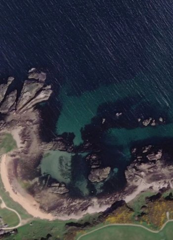
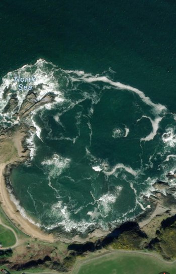
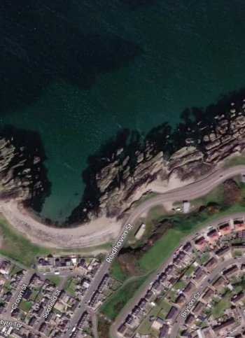
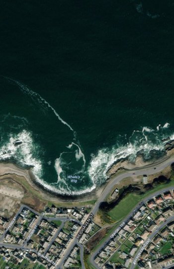
I have been using apple maps to scout snorkeling locations specifically in Scotland. I noticed some time ago that there may have been an update as the water on coastline no longer appears to show underwater rocky sandy areas & Kelp
I don't know if the images were taken during a storm or what, but the detail is awful.
I've attached comparison screenshots.
The first pic is old apple maps and the second is whats available now.
3rd pic is again old apple maps and the last pic is what's current.
I'd like to be able to use apple maps again which show the clear detail of coastal areas. Is there any way I can find the version that this applies to. I've been searching online using the keywords "old apple maps" I have came across some alternatives, Google maps is definitely not worth mentioning
Map carta seems to be almost similar to the way apple maps used to be but its still lacking detail in some areas.
Any pointers anyone.


