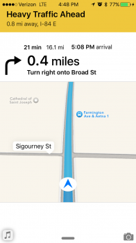
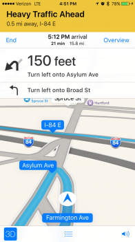
The iOS 9 Beta Maps app appears - to me - to be an improvement over the previous versions. The traffic colors offer more contrast but IMHO it's lipstick on a pig - it's the same TomTom/Clear Channel mapping/routing/traffic data that's showing up here:
http://livetraffic.tomtom.com/ And, of course, TomTom and its RDS-TMC (Radio Data System - Traffic Message Channel) isn't free even to its GO owners, so Apple must be paying a pretty penny for TomTom's logic and data.
Regarding Waze and current data, that ship sailed in 2012 when Google wrote a check for Waze and Apple parted waze (ways/waze, get it?

). I'm a Waze user, but generally in invisible mode for my high-speed jaunts and for the reasons only I know!
I've got a couple of friends in low places here in rural locations in the PNW, and they've both related to me that they've seen both Bing- and Apple-labeled vehicles driving in their locals - so I'm hoping that MS/Apple will free itself of the Navteq/TeleAtlas data anchors that are weighing them down.
As for navigation, I don't need it - too many apps have incorrect roadway names (I work with dozens of county surveyors, so please don't take me to task with this point). My hopped-up Forester and two Benzes have nav units that use the same crippled TeleAtlas data that Apple uses, courtesy of TomTom/TeleAtlas. Some of my work is "out there" in rural areas, so I always have a current Thomas Guide with me. As to traffic, I never trust those pretty little lines in the apps - I bookmark my routes from local DOTs (like Oregon's Tripcheck, WSDOT's own website, or one of the 511.org websites for real data - like
http://511.idaho.gov or
http://map.wyoroad.info/hi.html and others) - and check out the traffic cameras before I get to a bottleneck.
If you're looking for a decent traffic app, check out INRIX - they get their data from the DOTs, local agencies, AND all of the crowdsourced data from BB/iOS/Android/Win Phone - they provide data on hundreds of miles of roads I travel that none of the platform apps provide. But I still check DOT websites for local closures, before I hit the road or send one of my employees to a job site. Cheers!