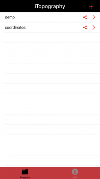
Dear all, I am the developer of the app iTopography, which is available on the appstore.
Have you ever found yourself in the situation where you need to
calculate the area of your garden, the living room, a field or even the geometrical shape for a
class homework?
iTopography was developed to assist you in calculating the area of any
surface, and is developed on the premise that a surface can be
approximated as a polygon of finite number of lines and vertices
(points). Therefore, iTopography can calculate the area of any surface!
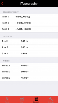
iTopography uses the GPS device to obtain the longitude and latitude of
the current position. In the case of a weak signal (e.g., inside the
house), the user is asked to give the distance between two adjacent points. In
order for iTopography to compute the area of a surface, the user must
move along the borders of the surface in a clockwise or
counter-clockwise direction. When the user inserts the points,
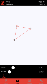
iTopography will connect the adjacent points with a straight line, draw
the surface, and calculate the area of the surface along with its
perimeter.
Please, pay attention that the accuracy of the program depends on the accuracy of the GPS device. Thus, iTopography should not be used to determine boundaries.
The webpage is not ready yet, but it will soon be.
The app costs $0.99 and you may find more info at itune
Hope you like it. I am looking forward to comments/suggestions.
Thank you


