I'd almost typed a bit out a couple of days ago in response to Julien's post but really haven't had too much time. I wrote
this post not too long ago in another thread and the second paragraph touches on your question a bit, some of the rest of the post is relevant as well IMHO.
Regarding the rest of it, there's so much more that needs to be accomplished before someone hits the "EXECUTE" button, some of which I've alluded to in these forums in regard to AM. A huge one is liability - I verify everything that goes out of my office, over the past 25 years I'm often the "responsible party" and my insurance bonds aren't cheap even on a 10-acre grading project; Apple would need to provide assurances to pretty much every affected governmental agency that they're "creating" data for is bonded appropriately, keeping in mind that people drive into water bodies or lost in the forest or snowstorm never to be seen alive - I can't even fathom the cost of bonding AM or the cost of legal retainers associated with AM...
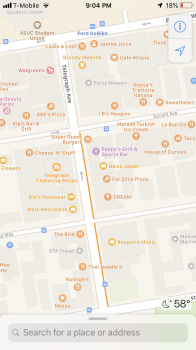
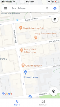
Regarding the Yelp bit, I too have noticed much faster updates. A Safeway near a project site permanently closed a couple of weeks ago and Yelp updated their site with the normal "CLOSED" tag - later that day the AM POI marker for both the store and associated pharmacy "disappeared" from AM. I can only guess, I'm surmising that Apple has finally addressed that (CLOSED) tag in their parsing engine. It's about frickin' time...
About timeline, hoo boy, that's a good one. In 2005, I was hired for a hydrologic analysis for a 21-acre site and needed GIS/survey data from two agencies and a county surveyor - it took around 3 weeks just to get the data delivered, a few hours to tie it all together, and a couple of hours to render the site. Getting reliable data is the key, and the backend of securing data is still often slow. Finding common NGS monuments can also be a PITA, keeping in mind that every single county often has their own surveyor with their own way of doing things - none of them do things the same way IMHO. All of this work needs to be verified, tied together with common monuments, and verified again after they're tied together. Surveyors are just about the most cautious professionals I've ever worked with, pretty much on par with insurance underwriters and bonding companies.
And, yes, updates are likely going live as we type this, residing on hidden layers or - more likely - on files on servers that are not yet available to the public with layers that can be exported/imported to publicly-available servers. I am seeing updated aerial data in CA and OR - look up Lakeview OR then pan south to Goose Lake, then zoom in to about 1 inch to 3 miles. That lake spans the OR/CA border, and the newer aerials will definitely show on the CA side with some new detail on the OR side -
then switch to "3D mode" and zoom in even more, and you'll see imagery data that wasn't available until recently. Aerials generally are taken twice a year - late spring or early summer and again in mid-winter, depending on what one is seeking to display - the early images will show lots of greenery (great for marketing and those mapping biodiversity) and construction site snapshots and the winter images show detail that is hidden by deciduous cover. Those aerials aren't cheap either, but now that Google's parted with their HD imagery satellites and the summer satellite "season" is over - there's likely a lot of image processing and geotagging going on as I type this! - we might see some additional updates soon. BTW, compare Apple's imagery to that shown by Google/Verizon's MapQuest or that of TomTom (oh, wait, never mind TomTom...

) and you'd see part of what I'm alluding to...


