Hey everyone! Just figured I’d add a few things I’ve noticed from over here in Ireland on our maps over the past few weeks and months that I haven’t seen mentioned. (Apologies for , on mobile.)
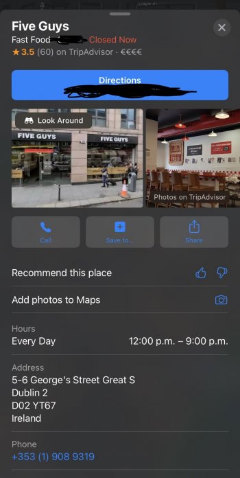
1) I have seen the new review system here, but it only seems to be on restaurants. I’ve attached a photo below for kicks.
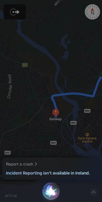
2) We do NOT have crash/speed trap reporting here. Tried it with Siri and all I got was “incident report is not supported in Ireland.” Pic below also for kicks.
3) Dublin Bus has JUST gotten live updates on maps. Previously it had the “scheduled for: __” thing, but you can now see live delays as well as bus positions on the route. Interestingly, despite being under the umbrella of TFI with Dublin Bus, the LUAS, DART, and the various other providers that serve the Dublin metro area do NOT have live updates. I however can’t speak to whether this is a data integration issue, or whether these vehicles literally just don’t have the capability/hardware.
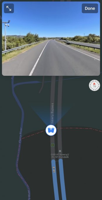
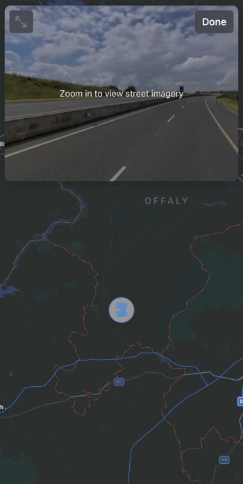
4) Most interestingly is our look around. Though it’s listed nearly everywhere as covering “Dublin” reality is it more like the entire eastern half of the Republic since it extends from the border down to Rosslare. What’s interesting is where it cuts in and out. You can see in the 3rd picture how look around is only available in County Offaly, and despite the fact that the M7 passes through it and Tipperary multiple times in a short distance, it religiously cuts off at the border despite the fact it’s clear that the car would have had to continue driving because there’s no off ramp. This is the most obvious place I’ve seen, but even looking at the border with Northern Ireland it’s clear that the cars would have had to venture into the North at least a little, and likely recorded something. And on top of it the extent of the imagery is further than what’s highlighted on the map, potentially showing some “cropping” was done instead of the recording just ending. (See last pic) So the question is what gives? Why not release the whole of the Republic at least, and maybe the North too? Clearly some excess data exists. How hard would it have been to allow that motorway to continue? My best guess is that a computer was told “clip around these county borders” and the logic of “but that’s a dumb way to do that for this section” was removed.
Anyway these are my random speculations. Hopefully it provides some amusement!


