This is a Wiki Thread for the latest updates to the Apple Maps app. Note that some of the updates listed below may only be available in the latest beta software and not necessarily publicly available until iOS14 is released.
The thread for the new Maps updates that occurred during iOS 12 and iOS 13 can be found HERE.
Please simply click on "EDIT" for this post to make changes to the noted areas below. It looks like there will be many coming now that iOS14 is entering beta phase.
Please post observed/confirmed changes to the Apple Maps imagery and POI's (from all formats; iOS, iPadOS, MacOS and CarPlay) as new posts to this thread.
Thanks!
Updated Maps Areas
Countries are listed alphabetically. Where an entire country did not roll out at once, areas within the country are listed in the chronological order in which they rolled out.
- Canada - Announced to be released by end of 2020
- Japan - Wide Release -- August 4, 2020
- United Kingdom/Ireland - Preview released August 22, 2020, Wide release October 1, 2020
Look Around
- United States of America
- Hawaii (Island of O'ahu) - Added June 3, 2019
- Las Vegas metro area - Added June 3, 2019
- San Francisco/San Jose metro area - Added June 3, 2019
- Los Angeles metro area - Added September 30, 2019
- New York City metro area - Added September 30, 2019
- Houston, TX - Added November 18, 2019
- Santa Cruz, CA - Added December 18, 2019
- Boston, MA - Added February 19, 2020
- Philadelphia, PA - Added February 19, 2020
- Washington DC -- Added February 19, 2020
- Chicago metro area -- Added April 20, 2020
- Seattle, WA -- Added June 29, 2020
- Japan
- Tokyo, Osaka, Kyoto, and Nagoya -- Added August 4, 2020
- United Kingdom/Ireland
- London -- Added October 1, 2020
- Edinburgh -- Added October 1, 2020
- Dublin -- Added October 1, 2020
Notable Changes
- Cycling- Maps now routes cyclists along bike lanes, bike paths, and bike-friendly roads. Preview the elevation for your ride, check how busy a street is, and set routes to avoid steep inclines or stairs. Maps also offers custom cycling voice guidance and a rich experience on Apple Watch that makes it easy to navigate with a glance.
- New York City - Added September 17, 2020
- Los Angeles - Coming soon
- San Francisco - Added June 22, 2020
- Beijing - Coming soon
- Shanghai - Coming soon
- London - Added October 1, 2020
- Guides - Get recommendations for the best places to visit in a city with Guides created by a selection of trusted brands. Guides help you discover great places to eat, shop, meet friends, or explore in cities around the world. You can save Guides so you can easily get back to them later, and they automatically update when new places are added so you always have the latest recommendations.
- Personal Guides may be created on macOS (Big Sur) to share with friends and family.
- Electric vehicle routing - Easily plan trips with your electric vehicle. Maps automatically adds charging stops along your route and even accounts for charging time when calculating the ETA. Once you add your electric vehicle on your iPhone, Maps can keep track of things like the current charge and charger type to give you the best route for your vehicle.
- Limited to CarPlay with new "EV" app?
- Designed around the vehicle itself so it only shows chargers that are compatible with your vehicle?
- Congestion zones - Major cities like London and Paris have congestion zones to help reduce traffic in dense areas. Maps lets you see congestion zone tolls on the map and can route you around them if you like.
- New maps available in more countries - Detailed new maps are coming to more countries later this year, including Canada, Ireland, and the UK. The new maps offer more detailed roads, buildings, parks, marinas, beaches, airports, and more, giving you a more realistic view of the world.
- See above for complete updated countries/release dates.
- Ratings and Photos - You can contribute ratings and photos you’ve taken of restaurants, hotels, shops and other businesses directly in Maps. Help others find great places by letting them know what you thought of the food, service, atmosphere and more. Or share a photo of the restaurant’s interior or your favourite dish so they can see what it’s like.
- Refine location - Quickly get a highly accurate location and orientation when you’re in urban areas with poor GPS signals.
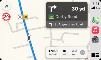
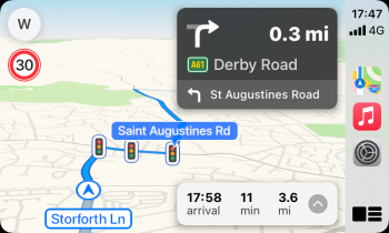
- Speed cameras - Maps lets you know when you’re approaching speed cameras and red-light cameras along your route. You can also see where individual cameras are located on the map.
Bugs
- List any notable bugs here
Apple Van/Pedestrian Image Collection Schedule
https://maps.apple.com/imagecollection
Business/POI Edit Site
https://mapsconnect.apple.com/
Maps Developer Site
https://developer.apple.com/maps/


![IMG_5154[1].PNG](/data/attachments/878/878248-fa6b897ba979a12671baf8dc448b198b.jpg)


